Amazing Limited Time Offer !
Call : +91 7771811100, +91 7771811104
Accurate Surveying and Construction



.jpeg)
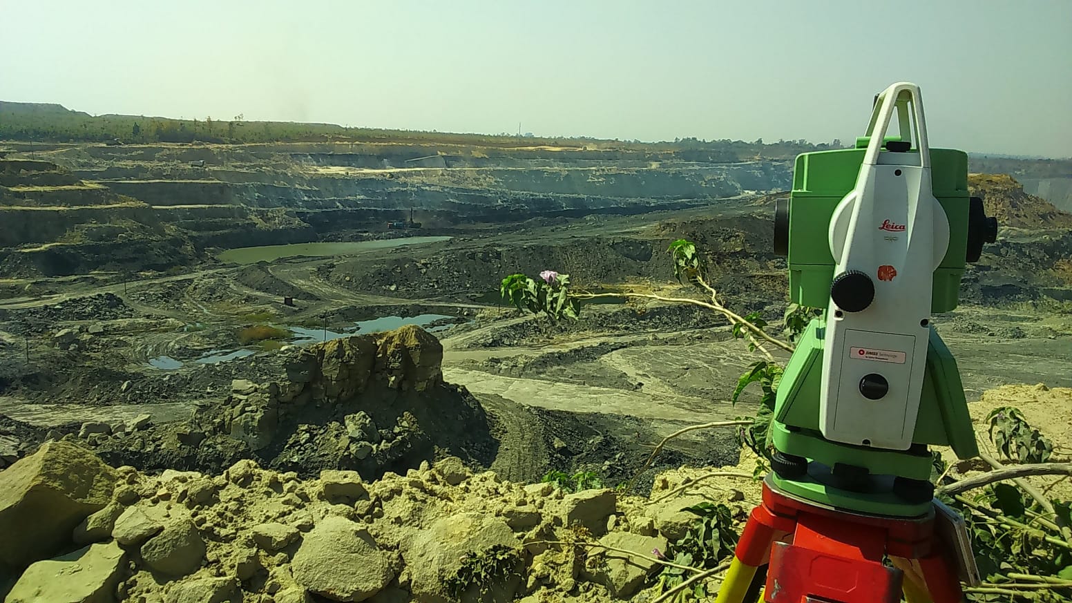
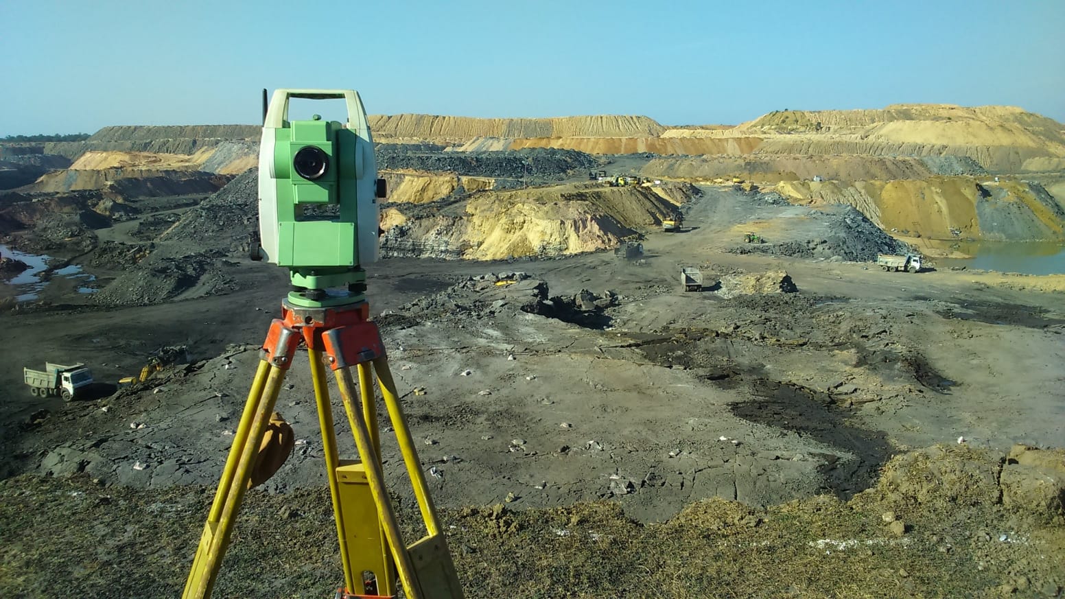
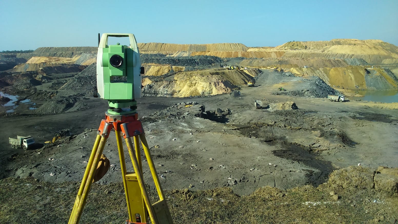
Need a reliable Mine Survey Service in Chhattisgarh? Accurate Survey delivers high-precision mining surveys using DGPS, Total Station, Drone Survey, and GIS technologies. Our expert team provides accurate mine mapping, volumetric calculations, lease boundary surveys, and compliance-ready reports for mining companies across Chhattisgarh.
Mining is a vital industry in Chhattisgarh, significantly contributing to India's production of coal, iron ore, limestone, dolomite, and other minerals. Accurate land measurement, careful planning, and continuous monitoring are crucial for safety, efficiency, and legal adherence in every mining project.
At Accurate Survey, we offer expert Mine survey service in chhattisgarh using cutting-edge technologies including DGPS, Drone Surveys, Total Station, GIS Mapping, and 3D terrain modeling. Our skilled professionals provide precise data to support mining companies, contractors, consultants, and government agencies at every project phase.
Our comprehensive mine survey solutions include:
With Accurate Survey, you get reliable, accurate, and timely data essential for successful mining operations in Chhattisgarh.
Mine surveying is far more than routine measurement; it is the backbone of every mining project phase—from initial exploration to final closure. Skilled surveyors map pit boundaries, monitor excavation progress, calculate ore volumes, track overburden removal, and ensure operations stay within approved lease limits. Without precise survey data, mining companies face regulatory penalties, unsafe pit slopes, and costly errors in material volume estimation.
In Chhattisgarh, where coal and mineral extraction is extensive across districts like Korba, Raigarh, Bilaspur, and Raipur, a dependable Mine Survey Service is essential. Surveyors here must understand both mining’s technical demands and the region’s unique geological conditions.
Based in Korba, Chhattisgarh, Accurate Surveying and Construction has delivered expert surveying and construction consultancy since 2013. Known for precision, reliability, and timely project delivery, the company serves the mining and infrastructure sectors with a team of highly qualified civil engineers and surveyors. Equipped with advanced tools like DGPS, Total Stations, and aerial drones, they are a trusted name in Mine Survey Services in Chhattisgarh and neighboring areas.
Client testimonials highlight their consistency in delivering precise, timely, and professional survey work—critical when mining timelines and safety are paramount.
Accurate Surveying and Construction provides a comprehensive range of specialized mine survey services, including:
Topographical and Contour Survey
Establishes natural contours, elevation, and terrain features of the lease area, forming a foundation for mine planning, drainage, and haul road design.
DGPS and Total Station Survey
Captures highly accurate coordinates for boundary demarcation, pit progress monitoring, and stockpile volume calculations across large leases.
Aerial Drone and LiDAR Survey
Uses drone-based LiDAR to rapidly cover large open-cast mining areas, producing high-resolution 3D models for volumetric analysis and progress tracking.
Cutting and Filling Volume Calculation
Provides precise volume data for overburden removal, coal extraction, and backfilling—essential for operational planning and compliance.
Geotechnical and Geophysical Investigation
Assesses subsurface soil and rock characteristics to ensure pit slope stability and safe mine design.
Setting Out and Boundary Survey
Ensures excavation remains within approved lease boundaries, preventing legal disputes and regulatory issues.
With these expert services, Accurate Surveying and Construction supports mining operations in Chhattisgarh to achieve safety, efficiency, and regulatory compliance throughout every project stage.
Our Mine Survey Service in Chhattisgarh employs cutting-edge surveying instruments to deliver reliable, precise results. Our key equipment includes:
Combining DGPS, drone imagery, and GIS enables accurate mapping and volumetric analysis with minimal errors, ensuring superior data quality.
We support a diverse range of sectors with our mining survey solutions:
No matter the project size, our team provides dependable and tailored surveying services.
Clients trust Accurate Survey for:
Our commitment is to deliver quality survey data that enhances project planning and operational efficiency.
Our services support a wide array of mining activities, such as:
Accurate survey data helps boost productivity while mitigating operational risks in mining projects.
If your mining operation in Chhattisgarh requires reliable, technology-driven survey support, partnering with an established provider like Accurate Surveying and Construction can save time, reduce risks, and enhance project outcomes. Equipped to manage projects of all sizes—from small mineral leases to large open-cast coal mines—their team combines traditional surveying expertise with advanced aerial and DGPS technologies.
As mining activities expand across Chhattisgarh, the demand for precise, dependable, and locally knowledgeable survey services grows. Whether you need topographic mapping, DGPS boundary surveys, drone-based volumetric analysis, or ongoing pit progress monitoring, choosing an experienced Mine Survey Service ensures your project remains accurate, compliant, and on schedule.
With a proven track record since 2013 and a skilled team of civil engineers and surveyors, Accurate Surveying and Construction is a trusted partner for mining companies throughout the region.
Need a reliable Mine Survey Service in Chhattisgarh? Accurate Survey delivers high-precision mining surveys using DGPS, Total Station, Drone Survey, and GIS technologies. Our expert team provides accurate mine mapping, volumetric calculations, lease boundary surveys, and compliance-ready reports for mining companies across Chhattisgarh.