Amazing Limited Time Offer !
Call : +91 7771811100, +91 7771811104
Accurate Surveying and Construction

We are provided precise Road, Railway, and Route Survey services to support planning, design, and construction of linear infrastructure projects. These surveys capture alignment details, terrain profiles, cross-sections, existing features, utilities, and right-of-way information along proposed or existing corridors.
Our services include route alignment surveys, longitudinal and cross-section profiling, curve and gradient analysis, earthwork quantity estimation, and as-built verification. Using DGPS, Total Station, drone, and LiDAR technologies, we deliver high-accuracy geospatial data that enables efficient design, cost optimization, and safe project execution.
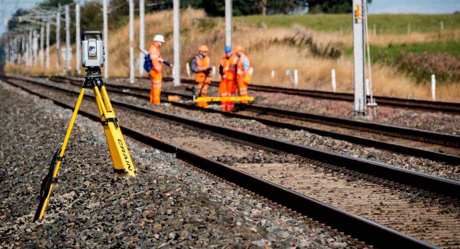