Amazing Limited Time Offer !
Call : +91 7771811100, +91 7771811104
Accurate Surveying and Construction




.jpeg)
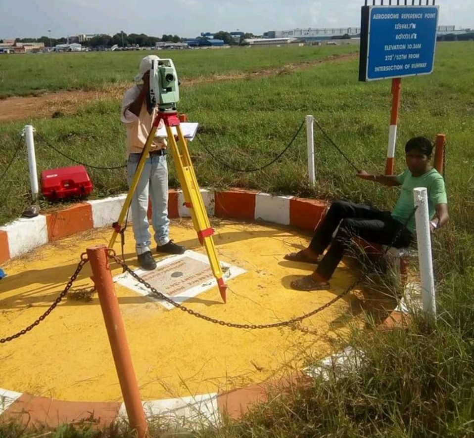
DGPS Total Station Survey Service in Vijayawada delivers high-precision land surveying solutions for infrastructure, construction, highways, industries, and government projects. ASurvey uses advanced DGPS, Total Station, drone technology, and GIS mapping to provide reliable survey data, accurate measurements, and detailed engineering reports. Modern DGPS and Total Station surveys provide centimeter-level accuracy for land development, infrastructure planning, and geospatial mapping
Vijayawada, one of Andhra Pradesh's fastest-growing commercial and infrastructure hubs, is witnessing rapid development across residential, industrial, and public sectors. With new roads, buildings, and utility networks emerging every year, the demand for precise land and engineering survey data is higher than ever. A professional DGPS Total Station Survey Service in Vijayawada is essential to ensure every project begins on a solid, accurately measured foundation.
At Accurate Surveying and Construction (asurvey.in), we combine advanced DGPS and total station technology with years of field expertise to deliver survey results that engineers, architects, and project developers can trust. Since 2013, we have supported infrastructure, construction, and industrial clients across India with dependable, timely, and cost-effective surveying solutions.
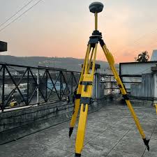
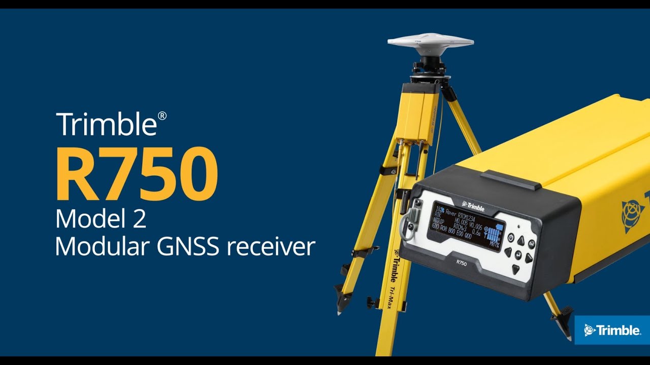
DGPS (Differential Global Positioning System) uses satellite positioning combined with a reference station to achieve centimeter-level accuracy over large areas. It is ideal for mapping wide sites, transmission corridors, and open terrain quickly.
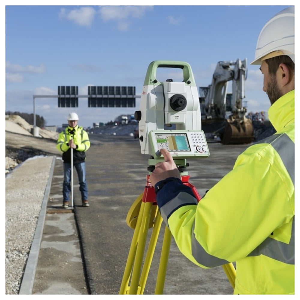
Total Station Survey employs an electronic instrument combining a theodolite with distance measurement to capture precise horizontal and vertical coordinates. It is suited for detailed, small-to-medium scale tasks like boundary demarcation, building layout, and construction setting-out.
Together, DGPS and total station methods complement each other—DGPS efficiently covers large areas, while total station provides fine-grained accuracy for engineering-grade details. This combined approach is the foundation of our DGPS Total Station Survey Service in Vijayawada.
Vijayawada’s expanding infrastructure presents unique surveying challenges—from riverside development near the Krishna River to congested urban plots and large industrial lands. A reliable DGPS Total Station Survey Service helps project stakeholders:
DGPS (Differential Global Positioning System) offers highly accurate positioning by correcting satellite signal errors, widely used in infrastructure, highways, power projects, and land development.
Our DGPS services include:
DGPS enhances survey accuracy and integrates seamlessly with CAD and GIS platforms.
Total Station combines electronic distance and angle measurement, ideal for detailed engineering surveys.
We provide:
These ensure dimensional accuracy throughout construction.
Topographical Survey
We deliver detailed reports on existing ground conditions, including:
This data supports civil engineering design and planning.
GIS Mapping Services
GIS mapping transforms survey data into digital spatial information for planning and asset management.
Our GIS offerings include:
GIS enhances decision-making and project management.
Drone Survey Integration
ASurvey employs drone technology for rapid aerial data capture, providing:
Drone surveys complement DGPS and Total Station measurements for comprehensive mapping.
Our DGPS Total Station Survey Service in Vijayawada supports:
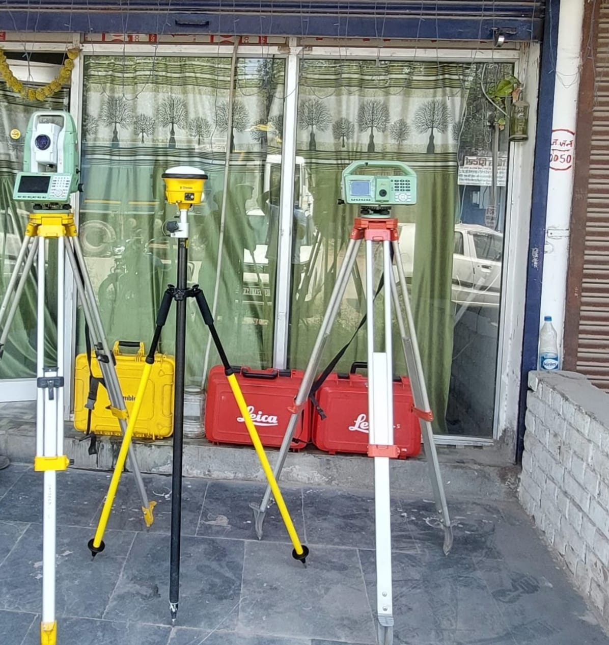
Our team utilizes cutting-edge equipment, including:
These technologies ensure high accuracy and faster project delivery.
Choosing a professional DGPS Total Station Survey Service in Vijayawada offers:
Vijayawada’s role as a crucial commercial and transportation hub in Andhra Pradesh demands infrastructure projects that move swiftly without compromising accuracy. Our extensive experience across varied terrains—from urban sites to riverside and industrial areas—enables us to anticipate site-specific challenges and deliver survey data that meets rigorous engineering and regulatory standards.
Partnering with a survey team familiar with both Vijayawada’s technical needs and local context helps minimize delays, facilitate smoother approvals, and build a strong foundation for project success.
For accurate, reliable, and professional DGPS Total Station Survey Service in Vijayawada, ASurvey offers comprehensive surveying solutions tailored to your project’s unique requirements. Utilizing advanced DGPS receivers, Total Stations, drones, and GIS technology, our expert team provides precise survey data essential for successful planning, engineering, and construction.
Whether your project involves land development, highways, transmission lines, industrial facilities, or commercial infrastructure, ASurvey is your trusted partner for high-quality surveying services in Vijayawada.
Contact Us:
📞 +91 7771811100 / +91 7771811104
📠HTPS Colony, Korba, Chhattisgarh, India – 495450
🌠asurvey.in
DGPS Total Station Survey Service in Vijayawada delivers high-precision land surveying solutions for infrastructure, construction, highways, industries, and government projects. ASurvey uses advanced DGPS, Total Station, drone technology, and GIS mapping to provide reliable survey data, accurate measurements, and detailed engineering reports. Modern DGPS and Total Station surveys provide centimeter-level accuracy for land development, infrastructure planning, and geospatial mapping