Amazing Limited Time Offer !
Call : +91 7771811100, +91 7771811104
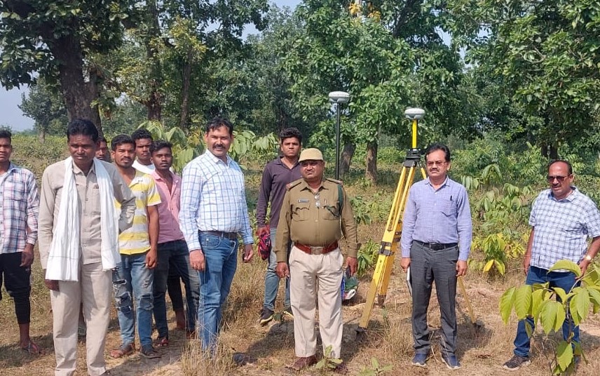
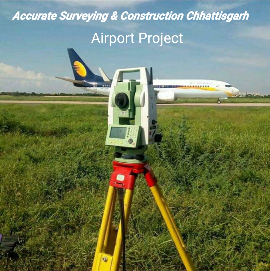
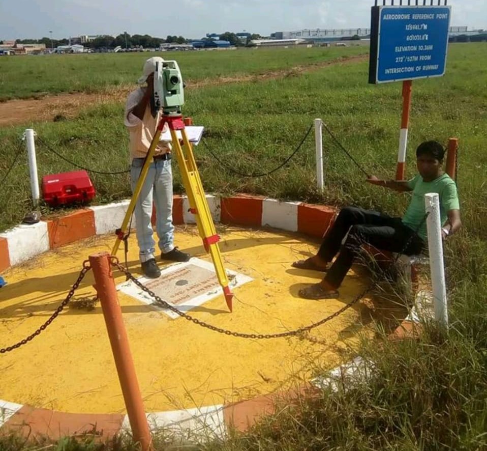
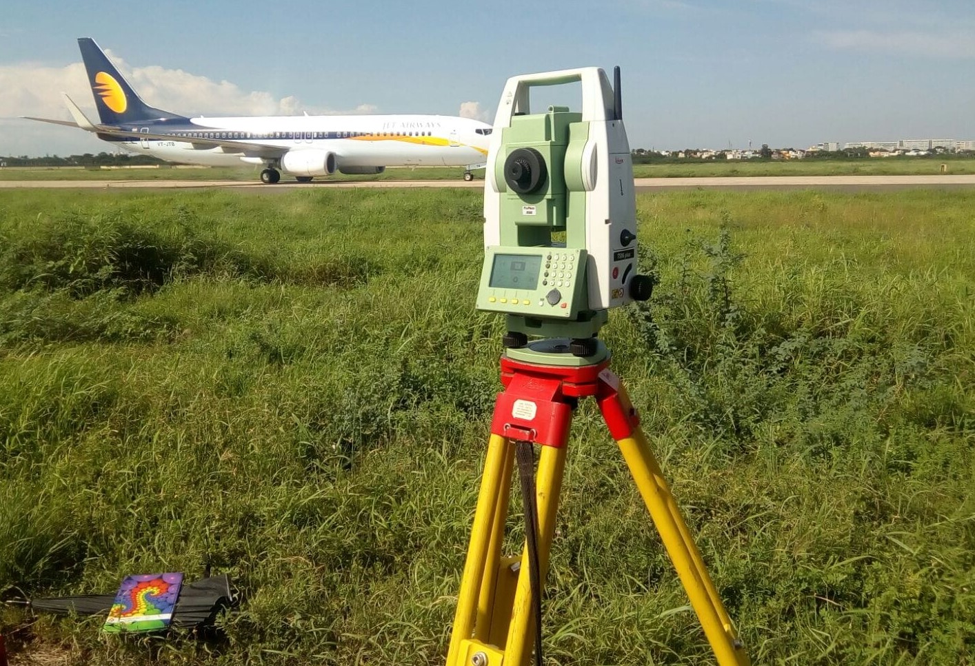
Accurate Surveying and Construction


.jpeg)
Topographic As-Built Survey Service in Rourkela
Starting a project without precise knowledge of ground conditions—or completing one without verified records—can lead to costly errors. A reliable Topographic As-Built Survey Service in Rourkela provides accurate data from initial site visits through to final project handover.
With precise measurements, you can plan smarter, build safer, and maintain thorough documentation. Given Rourkela’s busy steel, industrial, and construction sectors, this survey service is essential, not optional.
What Is a Topographic & As-Built Survey?
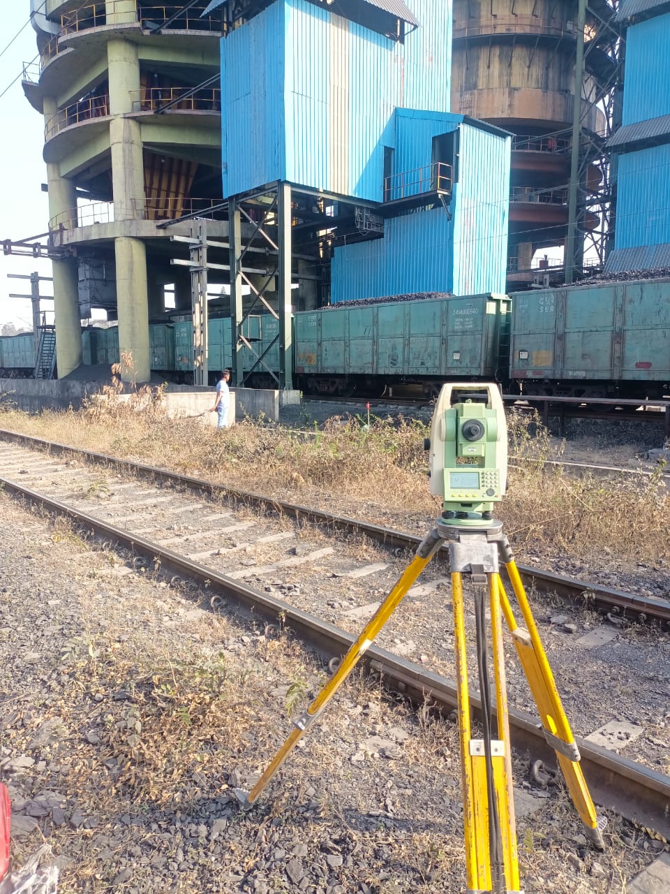
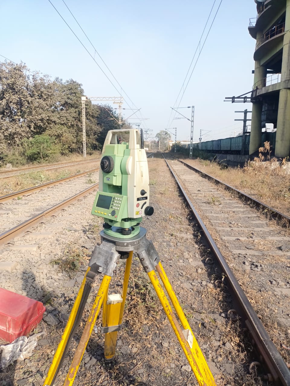
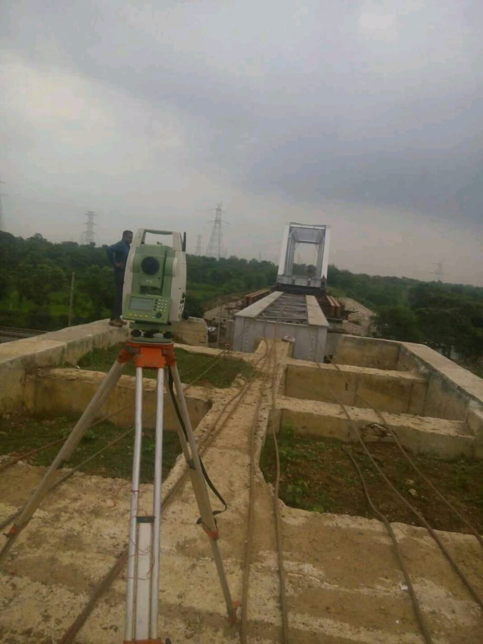
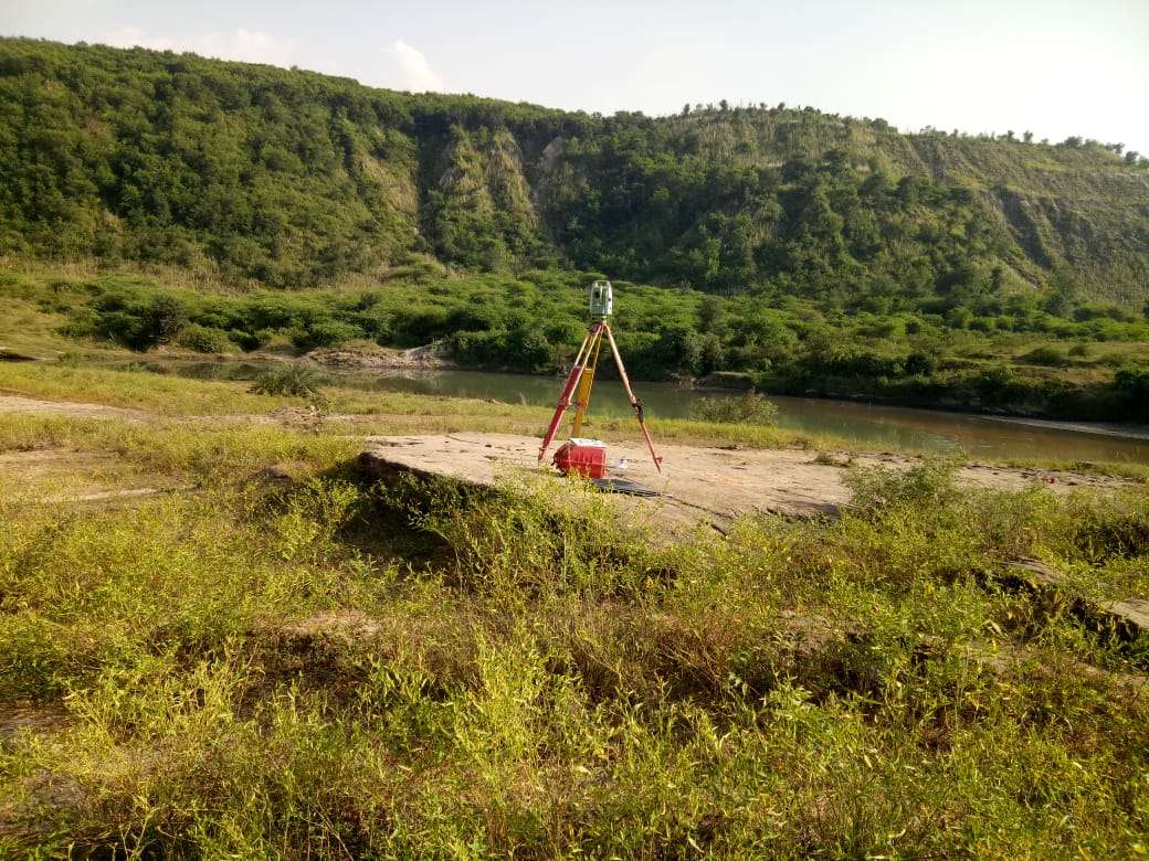
Topographic Survey: Captures existing natural and man-made features of a site, including ground elevation, contours, vegetation, drainage patterns, roads, and structures. It provides essential foundational data for design and planning. Common methods include total stations, GPS/GNSS systems, and drone-based photogrammetry, producing detailed contour maps and digital terrain models.
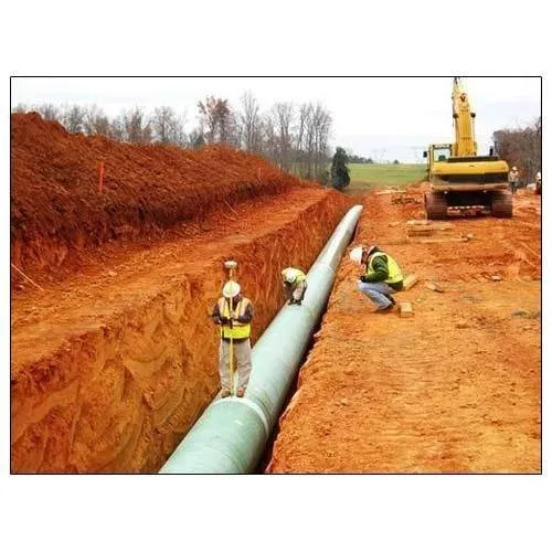
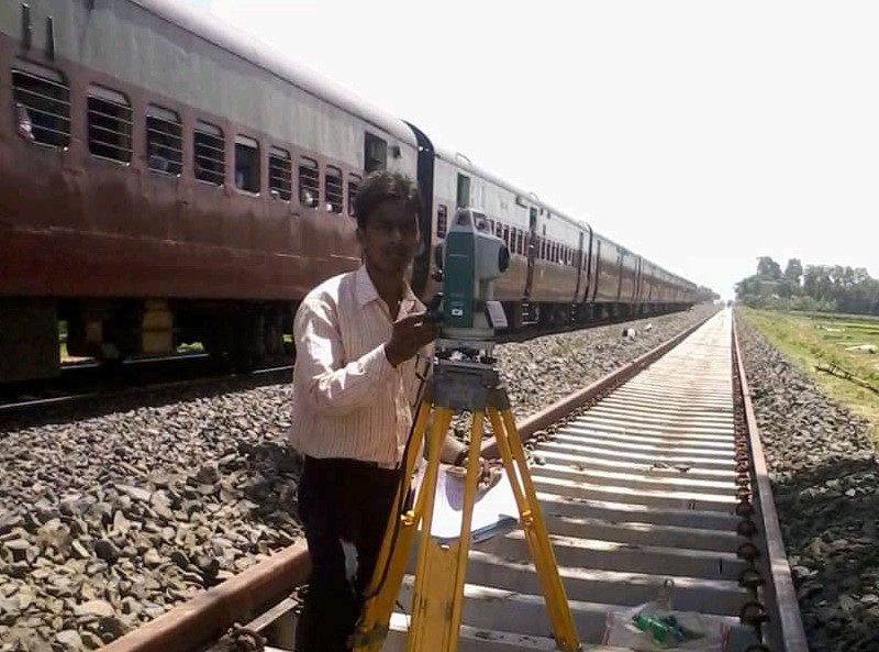
As-Built Survey: Conducted during or after construction to verify that structures, utilities, and infrastructure match approved design drawings. It documents the actual positions, elevations, and dimensions of buildings, pipelines, roads, and other facilities, creating an accurate record for facility management, future renovations, or regulatory compliance.
Importance of Topographic As-Built Survey Service in Rourkela
Accurate topographic and as-built data is vital for project management and regulatory compliance. Benefits include:
Applications of Topographic As-Built Surveys
Used across multiple sectors:
Our Survey Process
Technologies We Use
These ensure high accuracy and efficient survey outcomes in Rourkela.
Industries Served in Rourkela
Several sectors in Rourkela rely on Topographic As-Built Survey Services, with demand growing alongside new projects:
Why Choose a Local Rourkela-Based Survey Team
A survey team experienced with Rourkela’s industrial layouts, steel plant infrastructure, and regional terrain can mobilize quickly and efficiently. They understand site-specific access requirements and deliver reports that comply with local planning and industrial documentation standards.
Services are typically available across Rourkela, Sundargarh, Rajgangpur, and surrounding industrial areas, providing reliable, region-specific expertise.
Book Your Survey Service Today
Don’t let missing or inaccurate data drain your budget or delay your project. Partner with a professional survey team that delivers the accuracy and confidence your work demands—at every stage.
Whether you manage a steel plant, construction site, or real estate development, reliable survey data is the foundation of your success. Contact a trusted local survey provider today, share your site details, and receive a clear quote tailored to your schedule and budget.