Amazing Limited Time Offer !
Call : +91 7771811100, +91 7771811104
Accurate Surveying and Construction



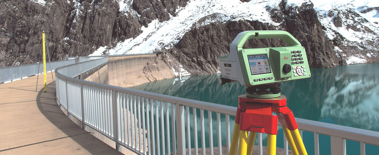
Professional Levelling Survey Service in Tamil Nadu provides accurate elevation and level measurements for construction, infrastructure, road, drainage, and land development projects. Reliable surveying helps engineers and contractors establish correct reference levels and maintain project accuracy.
Accurate surveying is the cornerstone of successful construction and infrastructure development. Before engineers begin excavation, foundation laying, road construction, drainage installation, or site development, they require precise data on ground levels and elevation differences. Professional Levelling Survey Services in Tamil Nadu provide project teams with this crucial information, enabling better planning and execution. Tamil Nadu is witnessing substantial growth across residential, commercial, industrial, transportation, and infrastructure sectors. Consequently, precise elevation measurements have become indispensable. Survey experts employ modern instruments and proven techniques to determine reduced levels, benchmarks, slopes, and height variations throughout a site. Reliable levelling data not only helps engineers reduce construction errors but also facilitates effective drainage planning, road alignment, foundation design, earthwork calculations, and site grading.
A levelling survey is a technical process used to determine the elevation of points on a piece of land relative to a fixed reference point, known as a benchmark. This process enables engineers, architects, and builders to understand precise height differences across a plot. The collected data is essential for creating detailed elevation maps, which are crucial for planning drainage systems, foundation design, road construction, and irrigation channels.
Unlike basic boundary surveys, levelling surveys focus solely on vertical measurements—how high or low different points are relative to each other. This focus makes levelling surveys indispensable for construction or agricultural projects where water flow, soil stability, and structural integrity are critical.
Tamil Nadu's diverse geography, from coastal plains to the hilly Western Ghats, makes accurate land levelling particularly important. Here are key reasons to hire a professional Levelling Survey Service in Tamil Nadu:
Surveyors apply different levelling techniques based on project needs and accuracy requirements. Common types include:
Differential Levelling: Measures elevation differences between two distant points by taking readings and transferring levels from a known benchmark.
Fly Levelling: Quickly transfers an established benchmark to new locations, useful for setting up temporary benchmarks around a site.
Profile Levelling: Determines elevation changes along a line, used for roads, railways, pipelines, canals, and other linear infrastructure.
Cross-Section Levelling: Measures ground levels perpendicular to a chosen alignment, supporting road design, drainage, canals, and earthwork estimation.
Reciprocal Levelling: Used when obstacles prevent direct observation between points, reducing errors caused by instrument and terrain conditions.
Precise Levelling: Provides highly accurate elevation data for projects requiring strict vertical control, such as large infrastructure works.
Professional Levelling Survey Services in Tamil Nadu support various sectors:
Modern levelling surveys combine traditional skills with advanced technology, including:
This blend ensures highly accurate results with improved efficiency.
Levelling surveys are vital across many sectors in Tamil Nadu:
Engaging experienced Levelling Survey Services offers several advantages:
Tamil Nadu’s varied terrain presents unique challenges:
Professional surveyors adapt techniques to regional conditions, ensuring accurate, practical elevation data for effective project implementation.
Levelling surveying delivers critical vertical data essential for construction and infrastructure projects. It establishes benchmarks, reveals elevation differences, calculates gradients, guides drainage planning, controls foundation levels, and supports earthwork operations.
Whether developing residential properties, industrial facilities, roads, highways, drainage systems, or large infrastructure projects, accurate elevation data forms a strong foundation for successful execution. A reliable Levelling Survey Service in Tamil Nadu ensures your project achieves enhanced accuracy, efficiency, and construction control.
Professional Levelling Survey Service in Tamil Nadu provides accurate elevation and level measurements for construction, infrastructure, road, drainage, and land development projects. Reliable surveying helps engineers and contractors establish correct reference levels and maintain project accuracy.