Amazing Limited Time Offer !
Call : +91 7771811100, +91 7771811104
Accurate Surveying and Construction

.jpeg)
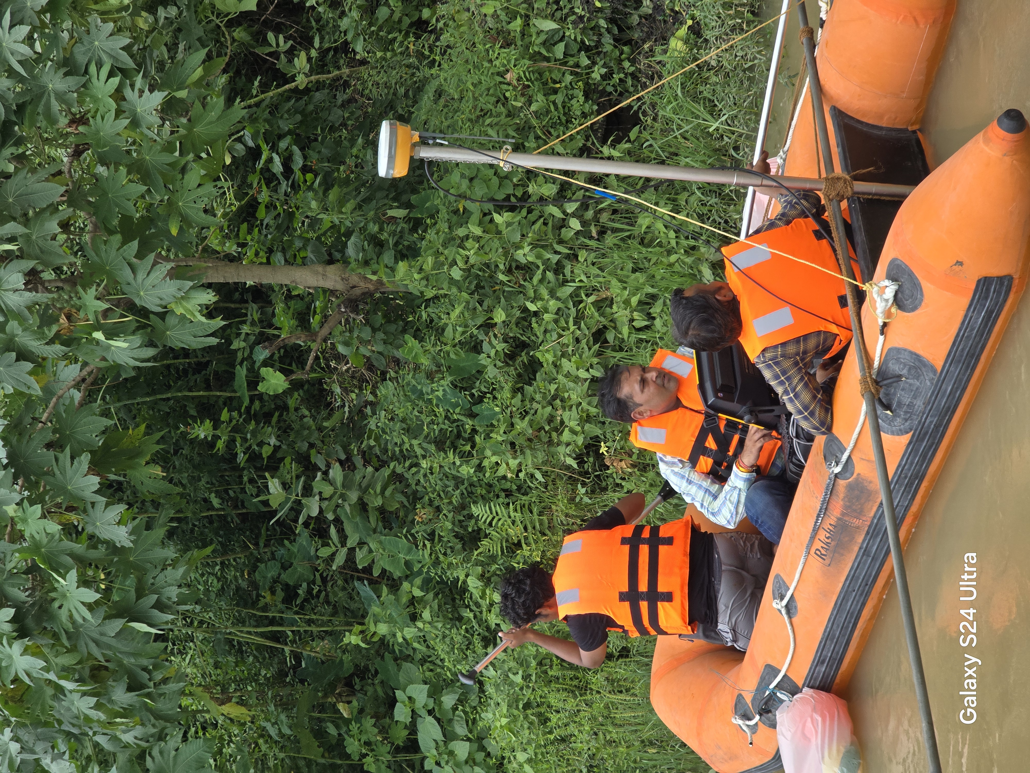
We are provided hydrographic /Bathymetric /Echo Sounding survey services to measure and map underwater depths, seabed profiles, and submerged features in rivers, lakes, reservoirs, canals, ports, and coastal areas. Using advanced echo sounding equipment integrated with precise positioning systems, we deliver accurate depth data and underwater topography for engineering, dredging, navigation, and water resource projects.
Understanding underwater terrain is essential for marine construction, dredging, and water resource management. Accurate Surveying offers expert Bathymetric Hydrographic and Echo Sounding Survey in Gujarat, delivering precise underwater data for safe and efficient project execution. Using advanced technology and skilled professionals, we help industries make informed decisions with confidence.
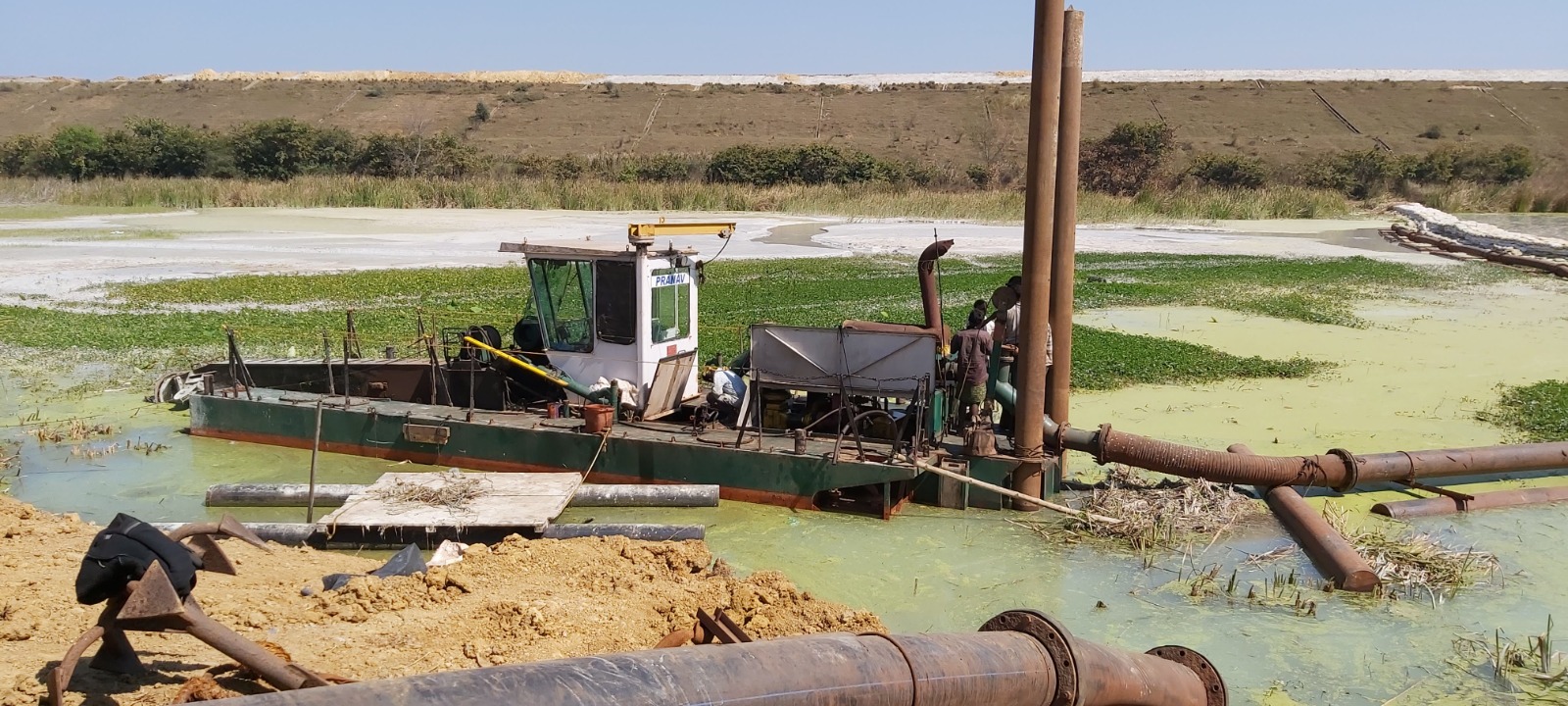
Gujarat, with its extensive coastline, ports, rivers, and industrial developments, requires accurate underwater surveys for various projects. Bathymetric Hydrographic and Echo Sounding Survey in Gujarat plays a crucial role in mapping underwater surfaces and analyzing water bodies.
Bathymetric surveys measure the depth and shape of underwater terrain, while hydrographic surveys focus on studying water bodies for navigation, construction, and environmental purposes. Echo sounding is a key technique used in these surveys to determine water depth using sound waves.
These surveys are essential for:
By combining these services, Accurate Surveying ensures reliable and detailed underwater data for all types of marine and inland water projects.
Accurate Surveying is a trusted provider of Bathymetric Hydrographic and Echo Sounding Survey in Gujarat, known for precision, reliability, and advanced technology.
Our team uses modern equipment such as single-beam and multi-beam echo sounders to deliver accurate depth measurements. We understand the complexities of Gujarat’s coastal and inland water conditions, allowing us to provide customised solutions for each project.
We focus on:
Our expertise in hydrographic survey services Gujarat ensures that clients receive dependable results for critical decision-making.
Echo sounding is a widely used method in underwater surveys. It works by sending sound pulses from a transducer into the water. These pulses travel to the seabed and reflect back to the receiver. The time taken for the signal to return is used to calculate the depth.
Types of Echo Sounding:
Importance of Echo Sounding:
Using Bathymetric Hydrographic and Echo Sounding Survey in Gujarat, project planners can avoid risks and ensure smooth operations.
Professional underwater surveys offer numerous advantages for marine and infrastructure projects:
By integrating marine survey services Gujarat with echo sounding technology, Accurate Surveying delivers comprehensive and reliable results.
Our Bathymetric Hydrographic and Echo Sounding Survey in Gujarat is widely used across multiple industries:
We also specialize in underwater mapping services Gujarat, ensuring accurate data for both coastal and inland water bodies.
If you require reliable underwater survey solutions, Accurate Surveying is your trusted partner. Our expertise in Bathymetric Hydrographic and Echo Sounding Survey in Gujarat ensures accurate data and professional service for every project.
We are committed to delivering high-quality results that support safe and efficient project execution. Contact us today to discuss your requirements and get customized survey solutions.
We are provided hydrographic /Bathymetric /Echo Sounding survey services to measure and map underwater depths, seabed profiles, and submerged features in rivers, lakes, reservoirs, canals, ports, and coastal areas. Using advanced echo sounding equipment integrated with precise positioning systems, we deliver accurate depth data and underwater topography for engineering, dredging, navigation, and water resource projects.