Amazing Limited Time Offer !
Call : +91 7771811100, +91 7771811104
Accurate Surveying and Construction

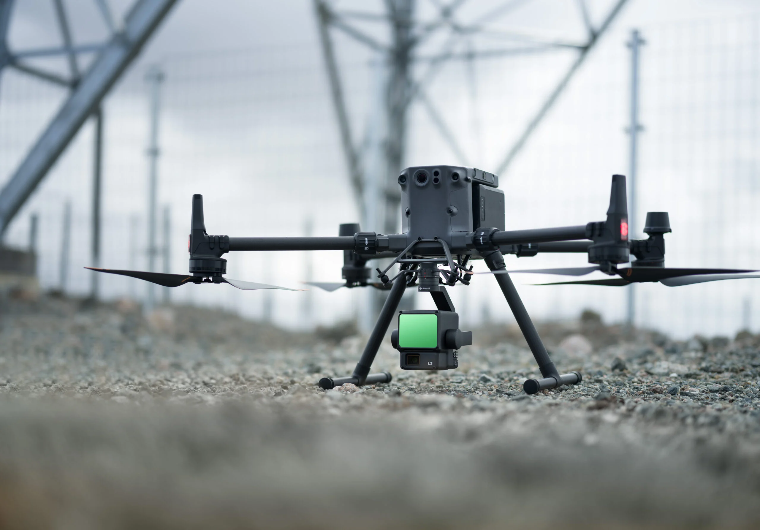
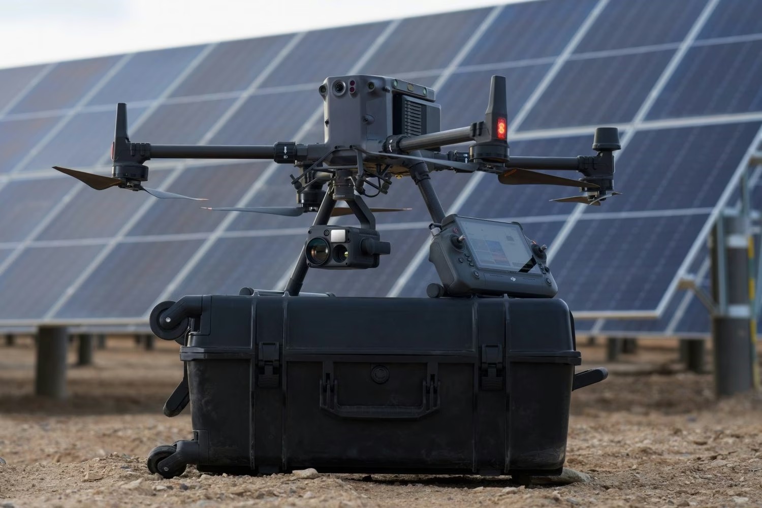
Our Aerial LiDAR Drone Survey Service in Telangana offers one of the most advanced and accurate solutions for topographical and geospatial data collection. By integrating cutting-edge drone technology with LiDAR (Light Detection and Ranging) sensors, we efficiently capture millions of precise data points over extensive areas in a short timeframe.
This technology is ideal for diverse applications such as:
Our service delivers detailed terrain models, contour maps, elevation data, and comprehensive 3D visualizations to aid in planning, design, and construction. Equipped with state-of-the-art drone platforms and LiDAR systems, we ensure reliable data acquisition even in challenging terrains and densely vegetated regions.
What Is an Aerial LiDAR Drone Survey?
An Aerial LiDAR (Light Detection and Ranging) Drone Survey involves using a drone equipped with a laser scanning system to capture millions of highly accurate elevation points over a survey area. Unlike traditional photogrammetry, LiDAR technology can penetrate dense vegetation, enabling precise ground-level data collection even in forested or heavily vegetated environments.
The collected point cloud data is then processed to create:
This method provides survey-grade accuracy for large or difficult-to-access areas, significantly reducing the time and effort compared to conventional surveying techniques.
Why Aerial LiDAR Drone Surveys Matter in Telangana
Telangana’s varied landscape—including urban expansion near Hyderabad, agricultural plains, hilly regions, and mining belts in districts like Adilabad and Mancherial—demands versatile surveying solutions. Aerial LiDAR drone surveys provide significant benefits for these diverse needs:
These advantages make Aerial LiDAR an ideal choice for Telangana’s complex surveying requirements.
Types of Surveys Offered
Our comprehensive Aerial LiDAR Drone Survey Service in Telangana includes specialized survey types tailored to different project needs:
Methods and Tools Used
Our expert teams in Telangana select the right technology based on your site’s size, terrain, and accuracy requirements:
This combination enables fast, reliable surveys, with drones covering hundreds of hectares daily while ground control points ensure survey-grade accuracy.
Key Benefits of Aerial LiDAR Drone Surveys
Industries Served in Telangana
Our services support a wide range of sectors across Telangana, where demand continues to grow with new projects:
Industries We Serve
Our Aerial LiDAR Drone Survey Service caters to a diverse range of sectors, including:
Conclusion
An Aerial LiDAR Drone Survey Service in Telangana delivers a fast, accurate, and cost-effective method for acquiring detailed geospatial data. Serving sectors from infrastructure development and mining to power transmission and urban planning, LiDAR technology offers precise terrain data and advanced 3D mapping capabilities. Leveraging state-of-the-art drone systems and skilled professionals, our LiDAR surveys enhance decision-making, streamline project execution, and contribute to successful development outcomes across Telangana.