Amazing Limited Time Offer !
Call : +91 7771811100, +91 7771811104
Accurate Surveying and Construction



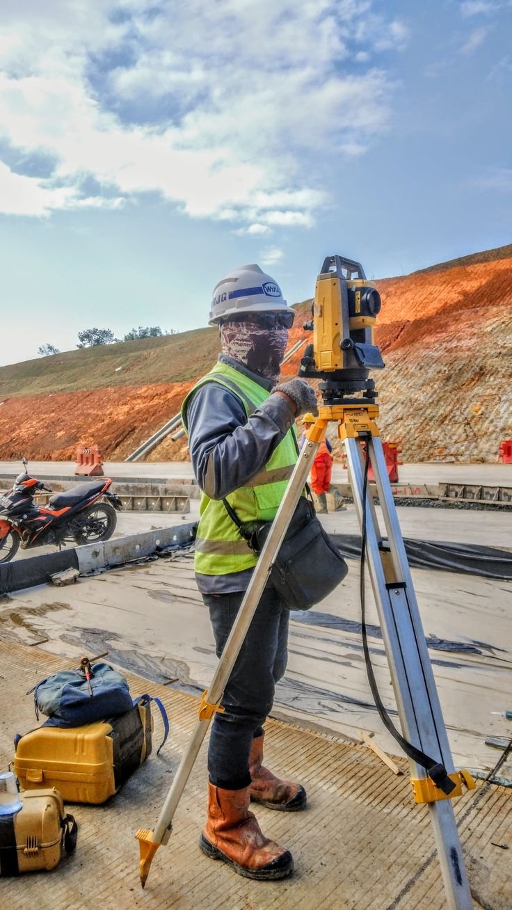
Srinagar is one such city that combines history, water bodies, and quick development. Smart city initiatives, road widening, bridge construction, building of hospitals and hotels, and even restoring historical buildings are transforming the summer capital of Jammu & Kashmir. Each and every one of these initiatives begins with a basic question – what lies underneath? Uninformed digging will lead to damages in pipe lines, cutting of cables, schedule delays and, above all, will endanger lives of workers. This is why Ground Penetrating Radar Survey in Srinagar has become indispensable for engineers, contractors, and planners.
This guide will introduce you to GPR, its functioning, application areas, and selecting a service provider.
Ground Penetrating Radar (GPR) is a geophysical technique that makes use of radio waves to map the subsurface without destroying the surface. In other words, there is no need to dig, drill or break any concrete to perform an investigation, thus providing you with the undisturbed information you need.
The apparatus emits electromagnetic waves into the subsurface. These waves get reflected from the buried objects or changes in the materials, such as a pipe, cavity, rebars, and other layers of the soil.
Srinagar has a range of construction environment ranging from residential buildings, commercial buildings, roads, bridges, tunnels, hydropower projects, government installations, hospitals, educational establishments and utilities installation.
There can be differences in subsurface conditions depending on different zones of the city. The Srinagar-related data provided by ASurvey includes soft alluvial formations, peat deposits in zone related to old lakes, variations in rock formations or hard strata and groundwater factors.
A GPR survey in Srinagar may give an idea of underground formations which can be detected prior to any excavation or construction work.
1. Underground Utility Detection
One of the most widespread applications of this technology is the underground utility detection. The GPR technology finds metallic and non-metallic utilities such as PVC, HDPE, and concrete pipes, which cannot be detected by common metal detectors. This technology is particularly useful prior to trenching, horizontal drilling, and foundation excavation in narrow urban streets.
2. Concrete scanning and structural evaluation
GPR detects rebar placement, conduits, post-tension cables and voids within slabs, walls, and bridge decks. This allows engineers to core and drill without having any fears.
3. Roads and pavement assessment
The road agency can employ GPR for measurement of the layer thickness, moisture intrusion, and other problems. This is especially useful in areas where there are freeze-thaw cycles.
4. Void and cavity identification
Void creation due to the leakage of the pipe, washouts, and poor compaction can be detected prior to their damaging effect.
5. Archaeology and cultural heritage preservation
There is significant presence of mosques, shrines, and settlements in Srinagar. GPR will enable the detection of the buried foundation without destroying them.
Soil conditions and water content greatly determine the depth of penetration. Moist soils, soils containing clay minerals, or water-saturated soils tend to attenuate radar energy and decrease the penetration depths, whereas dry, rocky, or frozen soil may result in better results. For Srinagar, the relatively shallow water table and seasonal variations necessitate customizing the antennas and settings on the basis of location. Therefore, a competent operator is essential for the successful Ground Penetrating Radar Survey in Srinagar, as the data collected needs interpretation.
While evaluating the GPR surveying service providers, take into account these aspects:
The ideal company should operate as an extension of your engineering department, guiding decision making from planning through implementation.
Site meeting: Identify objectives, scope, and depth requirements.
Site inspection: Ensure accessibility, surface conditions, and obstructions.
Data acquisition: Cover the entire area in grids or lines.
Data analysis: Filter and interpret the data.
Data marking: Mark the data at the site and produce maps.
Final report: Report your findings with recommendations.
The above process ensures that all surveys conducted will have valuable information that can be acted upon and will serve as the foundation for the subsurface investigation.
Prices will vary depending on the size of the survey zone, the depth of research, accessibility of the site, quantity of objects, and the extent of documentation needed. Conducting an underground utility location in advance is much more economical than fixing any damages caused by a broken gas pipe or a fiber cable cut. Always make sure to get a proper quotation which clarifies everything about what you are going to pay for.
Whether you are creating a new road, digging a trench for a pipeline, testing a bridge, or even restoring a historic building, knowing what is there under the surface saves you time, money, and human lives. Professional Ground Penetrating Radar Survey in Srinagar provides you with all necessary knowledge about the underground layers in a harmless way. With competent services and effective underground utility detection, you will be able to dig up the ground confidently.
Do not hesitate to contact our team and plan your future project. Book a Ground Penetrating Radar Survey in Srinagar right now.