Amazing Limited Time Offer !
Call : +91 7771811100, +91 7771811104
Accurate Surveying and Construction



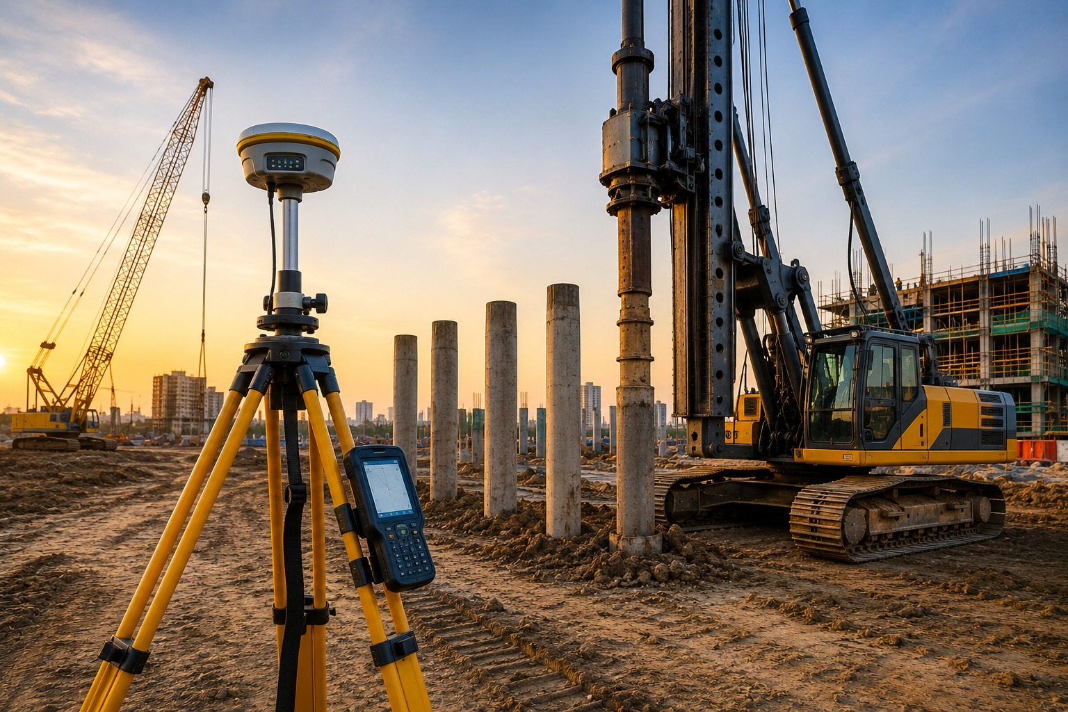
Goa’s construction landscape stands apart from most other Indian states. Its coastal proximity, reclaimed land, laterite rock formations, high water tables, and intense monsoon-driven soil saturation create some of the most challenging conditions for safe building.
Whether developing a beachfront resort, residential villas, commercial complexes, or infrastructure like bridges and roads, developers cannot afford to rely on guesswork. This is why GPR Survey, DGPS Survey, Geotechnical Investigation Piling at Goa have become essential services for anyone committed to building safely and in compliance with legal standards.
In this blog, we’ll explore what each of these services entails, why Goa’s terrain makes them indispensable, and how their integration helps protect your project from foundation failures, boundary disputes, and costly rework.
Goa lies along the Konkan coast, where soil conditions vary dramatically over short distances. Coastal alluvium near shorelines, lateritic soils on plateaus, and reclaimed or filled lands near rivers and backwaters like the Mandovi and Zuari create complex ground conditions. Combined with a high water table, seasonal flooding, and strict Coastal Regulation Zone (CRZ) rules, standard foundation assumptions don’t apply.
Every project, from small villas to large hospitality developments, requires precise, ground-truthed data before construction begins. This critical need is addressed by professional GPR Survey, DGPS Survey, and Geotechnical Investigation Piling services in Goa.
Ground Penetrating Radar (GPR) uses radar pulses to non-invasively image subsurface conditions without excavation or drilling. In Goa, where old drainage lines, buried utilities, and undocumented structures are common near older properties and coastal towns, GPR surveys help avoid underground surprises.
Typical applications include:
For coastal and semi-urban Goan sites with incomplete documentation of legacy infrastructure, GPR survey is a fast, effective way to mitigate underground risks before work starts.
Differential Global Positioning System (DGPS) survey provides centimeter-level positioning accuracy, far superior to standard GPS. In Goa, where land parcels often face CRZ boundaries, panchayat approvals, and overlapping ownership records, this precision is essential.
DGPS survey is commonly used for:
Without accurate DGPS data, developers risk building beyond approved boundaries or violating coastal regulations — leading to legal complications and possible demolition orders within Goa’s strictly regulated coastal zones.
Geotechnical investigation assesses soil and subsurface conditions before foundation construction, enabling engineers to choose the most suitable foundation system.
Our services include:
Pile foundations require precise soil information to ensure structural stability.
Our piling services cover:
Using GPR Survey, DGPS Survey, Geotechnical Investigation, and Piling at Goa, clients receive reliable data for safe and durable foundation construction.
ASurvey provides customized survey solutions for:
Each survey is tailored to the project’s unique requirements.
Choosing ASurvey delivers:
Professional surveys reduce uncertainties and boost overall project efficiency.
Our advanced technology includes:
These tools ensure precision, speed, and dependable survey outcomes.
Construction in Goa faces unique challenges such as reclaimed land, coastal regulation zones, fluctuating water tables, and mixed soil types. Using professional services like GPR Survey, DGPS Survey, Geotechnical Investigation, and Piling helps avoid issues such as boundary disputes, regulatory violations, and foundation failures.
If you’re planning a construction or infrastructure project in Goa, consult an experienced survey and geotechnical team early on. Getting the ground right the first time is more cost-effective than fixing problems later.