Amazing Limited Time Offer !
Call : +91 7771811100, +91 7771811104
Accurate Surveying and Construction



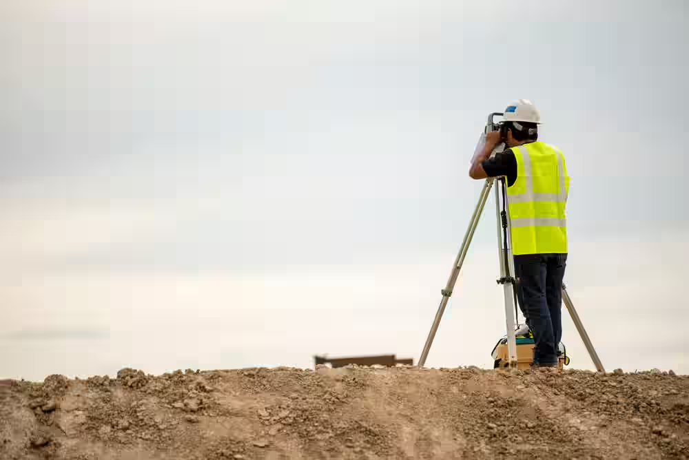
Delhi NCR is witnessing rapid growth across residential, commercial, industrial, transportation, and infrastructure sectors. Accurate site information is crucial for the success of these projects. Developers and engineers require reliable data on underground utilities, land coordinates, terrain conditions, soil properties, and foundation needs before commencing any major construction.
Services like GPR Survey DGPS Survey Geotechnical Investigation Piling Delhi NCR offer comprehensive site investigation and surveying solutions. These services enable project teams to accurately assess ground conditions and make well-informed engineering decisions. Utilizing modern equipment, expert professionals, and systematic field procedures, Accurate Surveying delivers reliable data essential for project success.
Ground Penetrating Radar (GPR) Survey is a non-destructive investigation technique used to identify underground features without the need for extensive excavation. It works by sending electromagnetic signals into the ground and analyzing the reflected signals to detect subsurface objects and variations.
GPR surveys can locate:
This information helps construction teams minimize the risk of damaging existing underground infrastructure during excavation and development.
Piling provides deep foundation support when shallow foundations cannot safely transfer structural loads into suitable bearing strata. It is essential for:
Professional piling services include thorough planning, site assessment, equipment selection, execution, and quality monitoring. Before piling begins, engineers must have reliable data on soil layers and subsurface conditions.
Combining geotechnical investigation with surveying and underground detection enhances project planning and reduces construction uncertainties.
While GPR Survey investigates underground features, a DGPS Survey (Differential Global Positioning System Survey) focuses on precise above-ground positioning. Using satellite technology corrected by ground reference stations, DGPS achieves centimeter-level accuracy in mapping coordinates, elevations, and boundaries.
In large infrastructure projects across Delhi NCR—such as expressways, metro extensions, and industrial parks—DGPS ensures every structural element, including piling points, is exactly positioned as per design. This precision is vital for multi-acre sites, where small errors can cause significant misalignments. DGPS data combined with GIS mapping helps monitor progress and maintain accurate as-built records.
Choosing GPR Survey, DGPS Survey, Geotechnical Investigation, and Piling services in Delhi NCR from experienced providers offers:
These surveying and investigation services support:
Given Delhi NCR's diverse terrain and urban density, detailed site data is essential before construction.
Piling is the preferred foundation method for multi-story buildings, bridges, and heavy industrial structures in Delhi NCR due to often weak surface soils. Piles transfer loads deep into stable soil or rock layers.
Success depends on quality pre-construction data. Combining GPR, DGPS, and Geotechnical Investigation enables contractors to:
Skipping these surveys in Delhi NCR’s varied terrain increases risks of delays, budget overruns, and safety issues.
Accurate site information is the cornerstone of successful construction and infrastructure development. Ground Penetrating Radar (GPR) surveys reveal subsurface conditions, DGPS surveys ensure precise positioning, geotechnical investigations provide critical soil data, and piling offers deep foundation support where needed.
With professional GPR Survey, DGPS Survey, Geotechnical Investigation, and Piling services in Delhi NCR, project owners, developers, engineers, and contractors gain essential insights for safer and more efficient project planning.
Accurate Surveying leverages advanced technology, skilled professionals, and systematic field procedures to deliver reliable surveying and investigation solutions. Whether developing residential, commercial, industrial, or infrastructure projects, precise site data empowers better engineering decisions.