Amazing Limited Time Offer !
Call : +91 7771811100, +91 7771811104
Accurate Surveying and Construction



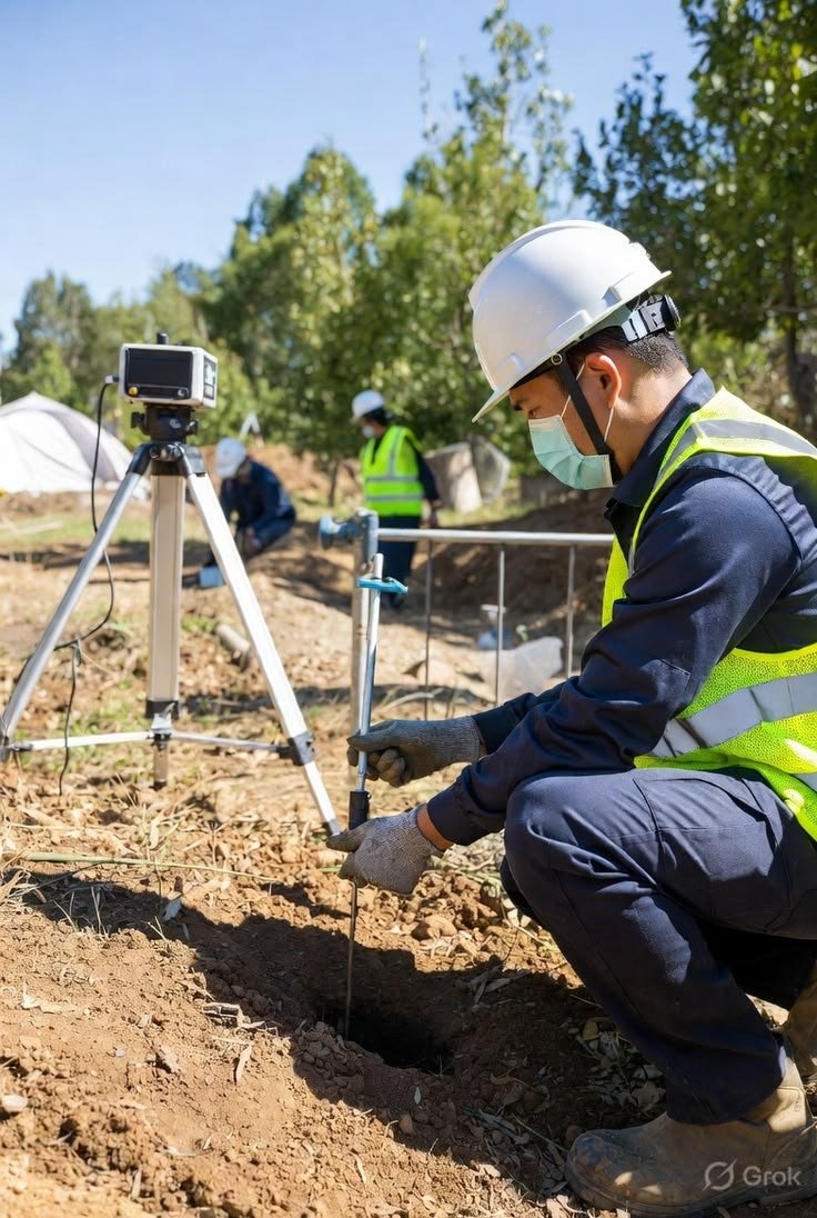
Raipur is rapidly developing as a key industrial and infrastructure hub in central India, with expanding steel plants, mining operations, road networks, and urban projects across the city and Chhattisgarh region. As construction accelerates, understanding what lies beneath the surface before digging is crucial. A professional Ground Penetrating Radar (GPR) Survey in Raipur becomes an essential tool for project planning.
Accurate Surveying and Construction, headquartered in Chhattisgarh, offers years of local and industry expertise providing dependable GPR survey services across Raipur, Korba, Bilaspur, and the wider industrial belt.
GPR is a non-destructive geophysical investigation method that sends electromagnetic pulses into the ground or structural surface. When these signals encounter changes in underground materials, they reflect back and are recorded by the equipment.
Survey professionals interpret these reflections to detect subsurface features such as:
Unlike traditional excavation, GPR surveys minimize surface disturbance, making them ideal for developed sites where excavation could disrupt existing infrastructure.
This technology is highly valuable for Raipur’s growing construction and mining sectors, ensuring safer, more efficient underground exploration before any digging begins.
Raipur’s development as a steel, power, and mining hub involves complex underground conditions such as layered industrial fill, old foundations, buried pipelines, and dense utility networks. Excavating without accurate subsurface knowledge risks utility damage, safety hazards, project delays, and unexpected costs. Professional GPR surveying in Raipur removes this uncertainty by accurately mapping underground conditions before any construction or excavation begins.
Common Reasons for GPR Surveys in Raipur:
Trusted GPR surveys are increasingly vital for Raipur’s industrial plants, mining companies, EPC contractors, and government infrastructure agencies to ensure safe, efficient, and cost-effective construction.
Our team follows a structured, engineering-driven process to ensure accurate and actionable results:
This structured method ensures each GPR survey in Raipur provides dependable, engineering-grade data for confident decision-making.
Ground Penetrating Radar Survey in Raipur supports a wide range of industries and project types, including:
ASurvey specifically serves construction and infrastructure, mining and mineral sectors, industrial plants, dams, roads, and pipeline projects.
Since 2013, Accurate Surveying and Construction has provided precise, technology-driven surveying solutions across India, with strong roots in Chhattisgarh. Our team of qualified civil engineers and surveyors combines advanced GPR equipment with DGPS, drone, and geotechnical survey capabilities to deliver comprehensive subsurface intelligence for every project.
When you choose us for a Ground Penetrating Radar Survey in Raipur, you benefit from:
Our broader capabilities—including topographic, mine, aerial drone, and geotechnical surveys—mean clients receive complete project support from one reliable local partner, eliminating the need to coordinate multiple vendors.
Understanding underground conditions is crucial for safe, efficient construction. Hidden utilities, reinforcement, voids, pipelines, and cables can significantly impact excavation and engineering decisions.
Ground Penetrating Radar Survey in Raipur offers a practical, non-destructive method for mapping subsurface features. With modern GPR technology and experienced professionals, construction teams gain valuable insights before starting critical work.
When combined with geotechnical investigations, DGPS, Total Station, drone, and topographical surveys, project teams achieve a comprehensive understanding of the site. This integrated approach supports better planning, enhanced safety, reduced uncertainty, and more efficient project execution.
For construction companies, contractors, infrastructure developers, engineers, industrial organizations, mining companies, and government projects, professional GPR Survey Raipur services provide reliable subsurface information to enable better engineering decisions.