Amazing Limited Time Offer !
Call : +91 7771811100, +91 7771811104
Accurate Surveying and Construction



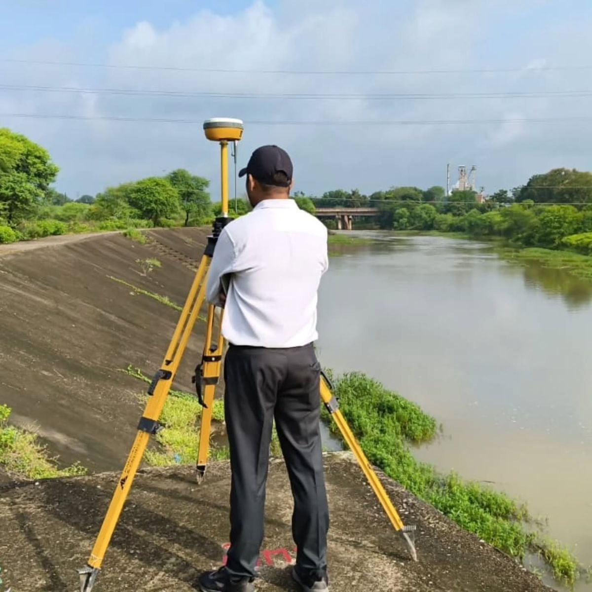
Modern construction and infrastructure projects demand precise knowledge of underground conditions. Hidden elements like water pipelines, electrical cables, communication lines, drainage systems, and reinforcement pose challenges when their locations are unknown.
A GPR Survey in Telangana offers a non-destructive method to investigate subsurface conditions before excavation, drilling, construction, or renovation. Using electromagnetic signals, Ground Penetrating Radar detects changes and objects beneath surfaces, enabling professionals to gather vital subsurface data without extensive digging.
For construction companies, infrastructure developers, engineers, and contractors, GPR is a valuable tool for effective project planning by understanding underground conditions before work begins.
Ground Penetrating Radar (GPR) is a geophysical surveying technology used to explore features beneath the surface. It sends electromagnetic pulses into the ground or structures and records the reflected signals.
These reflections reveal changes in material properties or the presence of buried objects and structural elements. Depending on ground conditions, target types, and equipment frequency, GPR helps detect utilities, pipes, cables, reinforcement, voids, and other subsurface anomalies.
Unlike traditional excavation methods, a GPR Survey in Telangana causes minimal surface disturbance, making it ideal for roads, buildings, industrial sites, campuses, and infrastructure corridors.
Telangana, especially around Hyderabad and growing urban and industrial zones, hosts diverse construction and infrastructure projects, including roads, commercial buildings, industrial facilities, utilities, transportation, and redevelopment.
Existing underground services may not always be accurately mapped. Identifying potential subsurface obstructions before excavation or structural changes helps project teams plan safer and more efficiently.
A professional GPR investigation supports:
Underground Utility Detection
Locates buried pipes, cables, and subsurface features before excavation, trenching, or utility installation.
Reinforcement Detection in Concrete
Identifies reinforcement patterns and internal concrete features before drilling, cutting, or coring, aiding structural modifications and renovations.
Road and Pavement Investigation
Examines multiple subsurface layers and anomalies to support pavement and infrastructure assessments.
Void Detection
Detects subsurface voids caused by erosion, leakage, or poor compaction that may require further investigation.
Construction Site Investigation
Provides information on potential underground obstacles before foundations, trenches, or other construction activities begin.
Project Assessment:
Understand the site, construction activities, and required information.
Survey Planning:
Define survey areas, scanning lines, grid spacing, and equipment setup based on project needs and site conditions.
Radar Data Collection:
Move GPR equipment over the area, sending radar pulses and recording reflected signals.
Data Processing:
Use specialized software to analyze radar reflections and identify underground features.
Interpretation:
Experts interpret data to detect anomalies, utilities, and other relevant subsurface details.
Reporting:
Deliver marked drawings, CAD/GIS data, depth estimates, radar profiles, and technical reports as per project requirements.
Non-Destructive Investigation:
Minimizes surface disturbance by avoiding extensive excavation.
Better Excavation Planning:
Helps contractors plan excavation activities by locating underground features.
Reduced Risk of Utility Damage:
Prevents accidental damage to buried infrastructure during construction.
Faster Preliminary Investigation:
Efficiently scans large areas for quick subsurface information.
Support for Engineering Decisions:
Provides valuable data for engineers and contractors in planning construction, renovation, or infrastructure work.
Because of these variables, GPR results require interpretation by experienced professionals and should not be considered a guarantee of detecting every underground feature.
In some cases, combining GPR with other investigation techniques enhances overall site assessment confidence.
Accurate Surveying and Construction offers professional surveying and construction solutions using modern technologies and skilled technical experts.
For subsurface investigations, GPR complements other surveying services to provide valuable information prior to intrusive work.
Their professional approach includes:
Whether for underground utility mapping, structural investigation, construction planning, or infrastructure assessment, choosing the right surveying method is key to successful project preparation.
Underground conditions significantly affect the safety, cost, and timeline of construction projects. A GPR Survey in Telangana offers a practical, non-invasive method to investigate subsurface features while minimizing surface disruption.
From underground utility mapping to concrete investigation and infrastructure assessment, GPR supports multiple stages of construction and engineering projects.
The quality of survey results depends on proper equipment selection, field techniques, site conditions, and expert interpretation. Collaborating with an experienced surveying team is essential for obtaining accurate subsurface information.
Ground Penetrating Radar is a valuable, non-destructive technology for subsurface investigation. It enables project teams to detect underground utilities, concrete reinforcement, voids, and other hidden features before commencing construction or modifications.
For infrastructure developers, contractors, engineers, and property owners, a professional GPR Survey in Telangana provides critical data for safer, more informed project planning.
Accurate Surveying and Construction offers tailored surveying solutions to meet diverse site requirements. Visit asurvey.in to learn more about their professional surveying and investigation services.