Amazing Limited Time Offer !
Call : +91 7771811100, +91 7771811104
Accurate Surveying and Construction



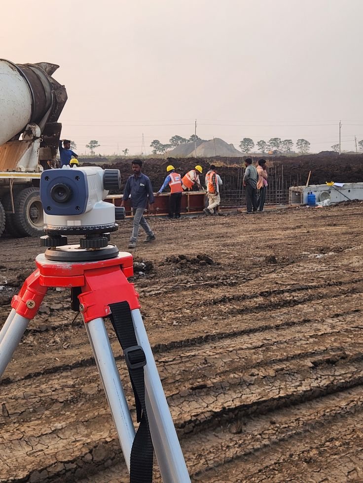
Modern construction and infrastructure projects require precise information about both visible and hidden site conditions. Underground cables, pipelines, reinforcement, voids, old structures, and other obstructions pose significant challenges during excavation and construction. Therefore, project owners, contractors, engineers, and developers need reliable subsurface data before starting critical work. GPR Survey in Bilaspur offers a non-destructive method to investigate underground conditions without unnecessary digging. Using electromagnetic radar pulses, Ground Penetrating Radar technology identifies and maps subsurface features. This enables construction teams to assess underground risks and plan excavation more effectively.
Accurate Surveying and Construction delivers professional surveying and geospatial solutions with modern equipment and experienced civil engineers and surveyors. Their services include GPR, geotechnical investigations, DGPS, drone surveys, topographical mapping, mine surveys, pipeline route surveys, and other specialized surveying solutions.
Ground Penetrating Radar (GPR) is a non-invasive geophysical technique that uses radar pulses to image underground features. It effectively detects buried utilities, voids, structural elements, and other subsurface objects without excavation. During a GPR survey, electromagnetic waves are sent into the ground, and reflected signals are analyzed to create detailed images of what lies beneath.
Unlike traditional digging or invasive methods, GPR provides quick, accurate, and safe data collection, making it ideal for urban areas like Bilaspur, where underground utility networks are often dense and undocumented.
Bilaspur’s rapid growth with new infrastructure, roads, and buildings increases the risk of damaging underground utilities such as water pipelines, electrical cables, gas lines, and telecom networks. A professional GPR survey helps locate these hazards before construction, minimizing costly delays, legal issues, and safety risks.
Key Benefits of GPR Survey in Bilaspur:
GPR technology supports many construction and infrastructure activities, including:
The accuracy of subsurface investigations depends on more than just equipment—it requires thorough survey planning, skilled fieldwork, expert data interpretation, and clear reporting.
Accurate Surveying and Construction employs qualified civil engineers and surveyors using advanced technology and instruments. Their services include GPR, DGPS, drone, hydrographic, geotechnical, mine, pipeline, and topographical surveys.
They serve diverse sectors such as construction and infrastructure, mining and mineral, industrial plants, dams and hydro projects, and roads and pipeline projects.
A GPR survey in Bilaspur should ideally be conducted during the early planning stages of any construction or excavation project to:
Delaying subsurface surveys until after construction starts can cause costly delays and safety hazards. Being proactive with a professional GPR survey ensures safer, smoother project execution.
Underground conditions play a crucial role in construction safety, project planning, and execution. Detecting subsurface features before excavation offers a significant advantage to engineers and contractors. GPR Survey in Bilaspur provides a practical, non-destructive method to investigate underground utilities, reinforcement, voids, and other hidden features. By integrating advanced GPR technology with expert surveying, project teams can enhance planning, minimize excavation risks, and make well-informed engineering decisions. For construction, infrastructure, industrial, mining, road, pipeline, or structural projects, partnering with an experienced survey provider ensures accurate data and reliable project support. Accurate Surveying and Construction delivers GPR and a wide range of complementary surveying and engineering services throughout India.