Amazing Limited Time Offer !
Call : +91 7771811100, +91 7771811104
Accurate Surveying and Construction



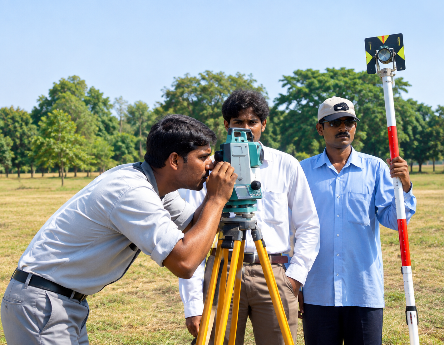
Modern construction and infrastructure projects demand precise information about land, underground conditions, soil properties, and existing structures before commencing major construction activities. In fast-growing industrial and infrastructure zones like Sambalpur and Rourkela in Odisha, professional surveying and geotechnical services are essential for effective project planning, foundation design, excavation, road development, industrial construction, mining, and piling operations. GPR Survey, DGPS, Geotechnical Investigation, Piling in Sambalpur and Rourkela, Odisha integrate multiple specialized engineering disciplines to provide project owners, contractors, developers, architects, and civil engineers with dependable site data. Ground Penetrating Radar (GPR) explores subsurface features, Differential GPS (DGPS) delivers precise geographic positioning, geotechnical investigations analyze soil and ground conditions, and piling ensures deep foundation support where necessary.
Odisha's soil profile varies widely—from lateritic soils along the coastal belt to rocky and mixed alluvial strata in western districts like Sambalpur and Rourkela. Due to this variability and unpredictability of ground conditions, contractors and structural engineers cannot rely on assumptions. This makes GPR Survey, DGPS, Geotechnical Investigation, and Piling services in Sambalpur and Rourkela, Odisha essential components of any responsible construction workflow. These combined surveys provide a comprehensive understanding of subsurface conditions, precise geographic positioning, and the depth and strength required for foundation piles.
Ground Penetrating Radar (GPR) is a non-destructive geophysical survey technique that uses radar signals to detect subsurface features. It helps identify underground utilities, voids, buried structures, reinforcement, and other anomalies without extensive excavation.
GPR allows construction teams to investigate specific areas before excavation, foundation work, or road development, complementing traditional geotechnical investigations by revealing detailed subsurface information.
Differential Global Positioning System (DGPS) survey is a high-precision positioning method that establishes exact coordinates for a project site. Unlike standard GPS, which can have a margin of error of several meters, DGPS reduces this to centimeter-level accuracy by using a base station and rover system that corrects satellite signal errors in real time.
In Sambalpur and Rourkela, DGPS surveys are used to:
Accurate DGPS positioning ensures all construction activities—from soil testing to pile installation—occur exactly as designed, preventing mis
A geotechnical investigation is a comprehensive analysis of the soil and rock properties at a proposed construction site. Key components include:
In industrial areas around Rourkela with heavy machinery and steel structures, and in Sambalpur’s growing residential and commercial sectors, geotechnical reports guide the choice between shallow footing and deep pile foundations.
Piling offers deep foundation support when surface soils cannot safely carry structural loads. Piles transfer loads to more stable soil or rock layers deeper underground.
Before piling starts, engineers require detailed subsurface information. Geotechnical investigations provide data on soil resistance, strata, groundwater, and other critical factors that influence pile design.
ASurvey includes piling work using hydraulic machinery among its core construction and engineering services.
By integrating GPR Survey, DGPS, Geotechnical Investigation, and Piling in Sambalpur and Rourkela, project teams ensure accurate positioning, thorough subsurface investigation, soil analysis, and proper foundation construction.
Soil testing delivers essential engineering data for foundation and construction planning. Project-specific testing varies based on structural needs and site conditions but typically includes:
Field observations combined with laboratory results help create a detailed understanding of ground conditions, ensuring safer and more reliable construction outcomes.
Many contractors mistakenly view GPR Survey, DGPS Survey, and Geotechnical Investigation as separate, optional steps. In reality, they form a connected, essential sequence:
This integrated approach to GPR Survey, DGPS, Geotechnical Investigation, and Piling in Sambalpur and Rourkela, Odisha, minimizes construction risks, prevents utility strikes, avoids foundation failure, and helps keep projects on budget and on schedule.
Engaging an experienced geotechnical and survey team for projects in Sambalpur and Rourkela offers significant advantages:
With Odisha’s focus on industrial growth, smart city projects, and enhanced connectivity, the demand for reliable GPR Survey, DGPS, Geotechnical Investigation, and Piling services in Sambalpur and Rourkela is poised to increase.
In addition to GPR, DGPS, geotechnical investigation, and piling, ASurvey offers an extensive range of specialized surveying services. Their portfolio includes:
This comprehensive service range allows clients to manage multiple surveying needs efficiently through one experienced technical partner.
When selecting a provider for GPR, DGPS, or geotechnical investigation in Sambalpur or Rourkela, consider these key factors:
Accurate information is the foundation of successful construction projects. Ground Penetrating Radar (GPR) identifies subsurface features, DGPS ensures precise geographic positioning, geotechnical investigations assess soil and ground conditions, and piling provides essential deep foundation support when required.
A well-planned program encompassing GPR Survey, DGPS, Geotechnical Investigation, and Piling in Sambalpur, Rourkela, and Odisha helps developers, contractors, engineers, industrial companies, infrastructure organizations, and government agencies make informed decisions throughout the construction process.
With a broad range of services—including Soil Testing, Topographical Surveys, Geophysical/Geological Surveys, Drone Surveys, Mine Surveys, and other specialized engineering surveys—ASurvey delivers an integrated solution for construction and infrastructure needs across Odisha and India.
For projects in Sambalpur and Rourkela, professional surveying and ground investigation enhance planning accuracy, mitigate construction risks, support foundation design, and contribute to the development of safe, durable infrastructure.